
OS grid reference SU158469 Post town Salisbury Local time Tuesday 2:57 PM | Sovereign state United Kingdom Postcode district SP4 Dialling code 01980 | |
 | ||
Weather 4°C, Wind SW at 26 km/h, 94% Humidity | ||
Ablington is a small village in the English county of Wiltshire, on the River Avon, close to the village of Figheldean and about 3.5 miles (5.6 km) north of the town of Amesbury.
Map of Ablington, Salisbury, UK
Barrow Clump, a prehistoric site re-used as a burial ground for an Anglo-Saxon village, is some 700 metres east of Ablington.
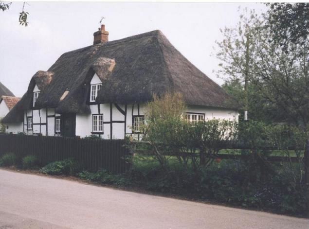
The settlement was recorded as Alboldintone in the Domesday Book. Ablington farmhouse is an 18th-century thatched building, extended in c. 1880 and at later dates.
For local government purposes, Ablington is part of Figheldean civil parish.
References
Ablington, Wiltshire Wikipedia(Text) CC BY-SA