
 | ||
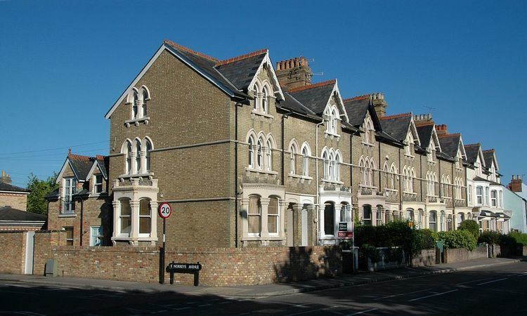
Abingdon Road is the main arterial road to the south of the city of Oxford, England. The road passes through the suburbs of Grandpont and New Hinksey. It is named after the town of Abingdon to the south.
Map of Abingdon Rd, Oxford, UK
Part of the road was known as the Causey or Causy until the 17th century, after the Grandpont causeway that ran from St Aldate's to Hinksey Hill.
To the north, the road crosses the River Thames at Folly Bridge and becomes St Aldate's, which leads to the centre of Oxford at Carfax, although the one-way system now prevents traffic from taking a direct route. The road is designated the A4144 and joins with the A423 dual carriageway that forms part of the Oxford Ring Road to the south.
At its southern end, the road turns sharply to the west, and crosses the Didcot to Oxford railway line over a brick bridge, to the south of which is the site of the former Abingdon Road Halt railway station. The bridge is known locally as the Red Bridge, and it has given its name to the area, in particular to Redbridge Park and Ride, and Redbridge Waste Recycling Facility.
The Duke of Monmouth public house is located on Abingdon Road.