
Country United States ZIP code 72134 Elevation 19 m | Time zone Central (CST) (UTC-6) Area code(s) 870 | |
 | ||
Weather 17°C, Wind S at 16 km/h, 84% Humidity | ||
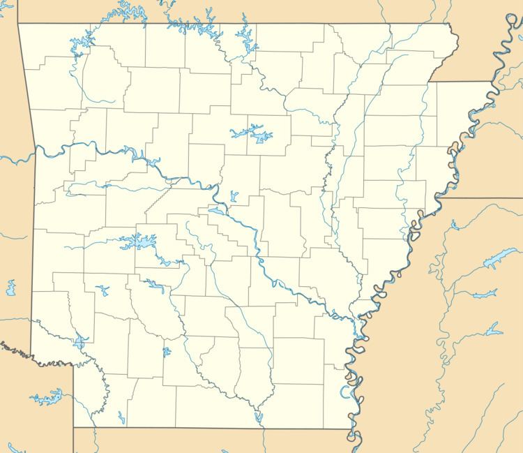
Aberdeen is a populated place in Monroe County, Arkansas, United States. The nearest communities are:
Contents
Geography
Aberdeen is located at 34°36′12.348″N 91°20′30.4506″W (34.6034302, -91.3417918). Aberdeen is off of Arkansas Highway 366, approximately .85 miles (1.37 km) due east of the White River.
Demographics
As of the census of 2014, there were 107 people residing within a 5 miles (8.0 km) radius of Aberdeen. This is a 6.14% decrease since the census of 2010.
Climate
The closest town for which climate data is available is Roe, Arkansas. The climate in this area is characterized by hot, humid summers and generally mild to cool winters. According to the Köppen Climate Classification system, this locale has a humid subtropical climate, abbreviated "Cfa" on climate maps.
References
Aberdeen, Arkansas Wikipedia(Text) CC BY-SA