
OS grid reference SU366231 | Sovereign state United Kingdom Local time Tuesday 7:43 AM | |
 | ||
Weather 1°C, Wind W at 8 km/h, 98% Humidity | ||
Abbotswood is a new 52-hectare building development planned to have 800 homes. It is located just to the north east of the town of Romsey in the Test Valley local government district.
Contents
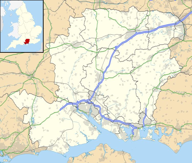
Map of Abbotswood, Romsey, UK
Local Centre
On 1 August 2014, planning permission was sought for a local centre consisting of a shop, pub, doctors/dentists surgery, pharmacy, community centre, and a day nursery. The planning application reference is 14/01836/RESS.
Broadband Issues
Residents of Abbotswood have complained about extremely slow broadband speeds. Newly built houses at Abbotswood have been left out of existing Next-generation access broadband rollouts. In January 2015, County Leader Roy Perry, announced a scheme to help fund the rollout of faster broadband to new build properties in Hampshire.
As of 16 July 2015 residents of Abbotswood are now able to access faster broadband.
Flooding
In 2012 and early 2013, there were reports that water run-off from the building site was the cause of flooding to nearby Cupernham residents gardens and houses. This was later found to be incorrect and that the development may have in fact, alleviated the flooding.
Construction status
Locals have been photographing and documenting the ongoing construction of the site.
As of December 2014 there were 458 homes occupied.