
Quadrant NE Established 1976 Area 200 ha | Ward 10 Annexed 1976 Population 6,012 (2006) Local time Tuesday 12:14 AM | |
 | ||
Weather -12°C, Wind NW at 3 km/h, 73% Humidity | ||
Abbeydale is a neighbourhood in the north-east quadrant of Calgary, Alberta. It is bordered to the north by Trans-Canada Highway, to the east by the East Freeway (city limits), to the south by Canadian National Railway traks and to the west by 68 Street E.
Contents
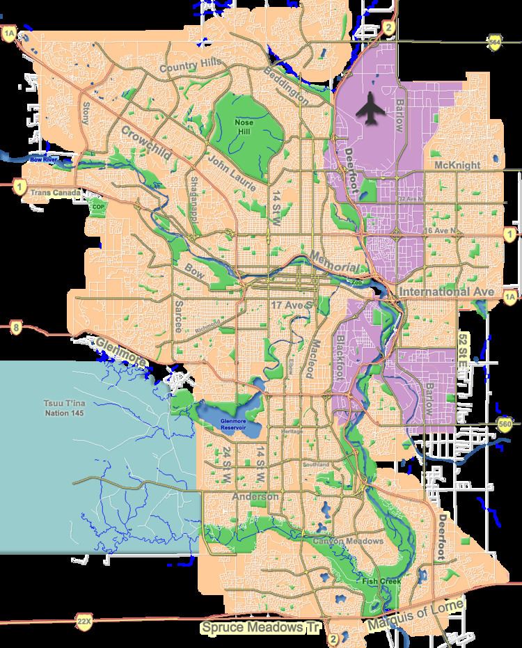
Map of Abbeydale, Calgary, AB, Canada
Abbeydale was annexed by the City of Calgary in 1976.
Demographics
In the City of Calgary's 2012 municipal census, Abbeydale had a population of 7003591700000000000♠5,917 living in 7003202300000000000♠2,023 dwellings, a 3.8% increase from its 2011 population of 7003570000000000000♠5,700. With a land area of 1.7 km2 (0.66 sq mi), it had a population density of 3,480/km2 (9,010/sq mi) in 2012.
Residents in this community had a median household income of $55,345 in 2000, and there were 17.3% low income residents living in the neighbourhood. As of 2000, 27.1% of the residents were immigrants. A proportion of 2.5% of the buildings were condominiums or apartments, and 22.8% were used for renting.
Education
The community is served by Abbeydale Elementary public school and also by Blessed Kateri Tekakwitha Elementary School (catholic).