
Population 10,420 (1 Jan 2006) | Local time Tuesday 12:44 AM | |
 | ||
Weather 6°C, Wind SW at 26 km/h, 71% Humidity | ||
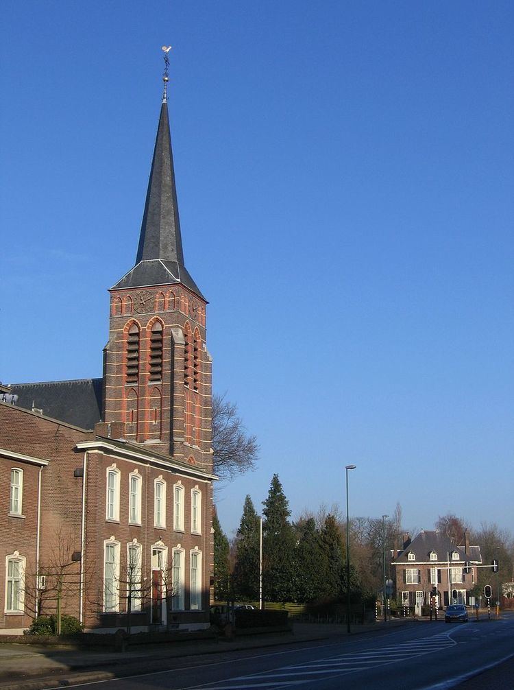
Aalst is a village located 6 km south of Eindhoven, the Netherlands, on the Tongelreep stream and the road to Valkenswaard. It was an independent municipality until 1923, when it merged with the municipality of Waalre.
Map of Aalst, Netherlands
Aalst experienced rapid growth during the 1970s and 1980s as housing estates were built in the Ekenrooi area, which served as an overflow area for Eindhoven. Despite this development the area remains very green and pleasant with large stretches of managed forest and heathland. Notable places include 'De hut van Mie Pils', a cafe and restaurant located in the wooded area in the east of the municipality.
In September 1944, Aalst saw the British XXX Corps pass along the main road from Valkenswaard to Eindhoven as part of Operation Market Garden.
The spoken language is Kempenlands (an East Brabantian dialect, one of the many southern dialects of Dutch).