
Type Road Route number(s) A8
(Entire length) | Length 23 km (14 mi) Region Sydney | |
 | ||
History Superseded Metroad 10 in 2013 Former
route number State Route 14 (1974-1998)
Entire Route
Metroad 10 (1998-2013)
Entire Route NE end Mona Vale Road (A3)
Mona Vale Lgas North Sydney Council, Municipality of Mosman | ||
The A8 is one of Sydney, Australia's metropolitan arterial routes, superseding Metroad 10. The A8 route runs for 23 kilometres from North Sydney to Mona Vale. The route includes parts of several different roads. The A8 designation replaced Metroad 10 during May 2013, much as the Metroad 10 route designation previously replaced the former State Route 14 designation in December 1998.
Contents
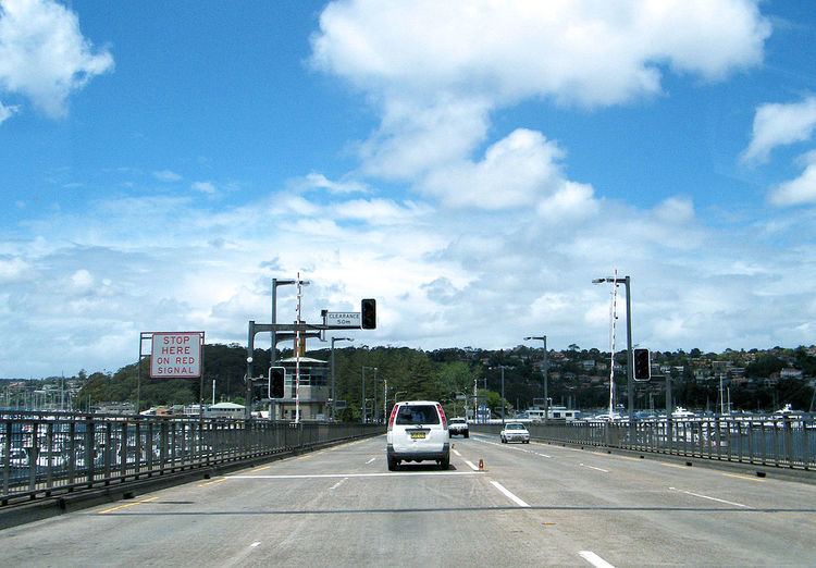
The A8 is the main transport link through the Northern Beaches district of Sydney. It forms one of only three road connections between the Northern Beaches area and the rest of Sydney. The A8's crossing of Middle Harbour on the Spit Bridge has become infamous as one of the most congested road links in the city, made worse by the regular opening of the bridge to allow boats to pass by.
The A8 starts at the Warringah Freeway (M1) at North Sydney. The A8 route ends at the intersection of Pittwater Road and with Mona Vale Road (A3), at Mona Vale.
The A8 follows these roads from Mona Vale (North) to the North Sydney (South):
The majority of the A8 has three lanes in each direction. There are a few sections with only two lanes in each direction. None of the A8 route is a proper freeway, and it has intersections controlled by traffic lights every few blocks. The Burnt Bridge Creek Deviation opened in 1985 to bypass the congested Balgowlah shopping strip, offers 3 kilometres of almost freeway-grade motoring.
History
Most of the components of the A8 are old roads. The section of Military Road through Cremorne and Mosman was first built in the 1820s. The earliest bridge at The Spit, linking Mosman to Manly, opened in 1923, and was then rebuilt in the late 1950s with new, wider, approach roads on the southern (Spit Road) and northern sides (Manly Road) of the bridge. The newest section of road is the Burnt Bridge Creek Deviation, a completely new road built the early 1980s to bypass the congested Balgowlah shopping strip on Sydney Road. The route from North Sydney to Mona Vale was designated at 'State Route 14' in 1974. It was re-designated as Metroad 10 in 1998, five years after the first Metroad routes were introduced.
Traffic headed south-east on the Warringah Freeway originally had no ability to exit the freeway and enter Falcon Street, so the original Metroad 10 route had a connection further west via the Pacific Highway to Artarmon. When north-facing, tolled, off-ramps were constructed which directly connected the Warringah freeway to Falcon Street from 2007, Metroad 10 route was truncated at that point.
Major intersections
Major roads and routes intersected along the A8 ( from south to north ) include: