
Origin time 5:49 UTC Depth 10 km (6.2 mi) | Magnitude Mw 8.5 Tsunami 40 ft (12 m) | |
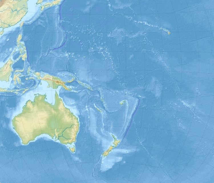 | ||
Date June 26, 1917 UTCJune 25, 1917, local Areas affected Samoa and American Samoa | ||
The 1917 Samoa earthquake occurred on June 26 at 05:49 UTC. The epicenter was located in the southwest of the Samoan Islands. The earthquake had a magnitude of Mw 8.5, or Ms 8.4, one of the strongest earthquakes ever recorded in this region.
Many subsidences were reported. In the mountains, masses of rocks were hurled down. In Apia, violent shaking lasted for about a minute and half. In American Samoa, the LDS Church in Pago Pago and the Catholic Church in Leone were partly demolished. A tsunami was triggered by the earthquake, which affected both American Samoa and German Samoa, which was then under Allied occupation. The tsunami reached a maximum of 40 feet. The maximum range of the tsunami in Apia was about 80 cm. Many houses were destroyed, and a bridge was washed away in Palauli. The tsunami was also recorded in Honolulu and on the west coast of the United States. Just on May 1, 1917, a large earthquake of magnitude Ms 8.0 occurred in the Kermadec Islands region. The tsunami caused by the earthquake in May also hit the Samoan Islands.
The earthquake occurred to the southwest of the Samoa Islands, along the Tonga Plate boundary. The focal mechanism of this earthquake was unclear. This earthquake and the 2009 event were not thought to represent the same repeating process in a same location.