
South end Rio Park Road | Length 16.8 km | |
 | ||
Maintained by the City of Edmonton
and City of St. Albert Location Edmonton, Jasper Place, St. Albert Major
junctions 87 Avenue, 100 Avenue, Stony Plain Road, 107 Avenue, 111 Avenue, 118 Avenue, Yellowhead Trail, 137 Avenue, St. Albert Trail, 167 Avenue, Boudreau Road North end Poundmaker Road (St. Albert City Limits) Major cities Edmonton, St. Albert, Jasper Place, Alberta | ||
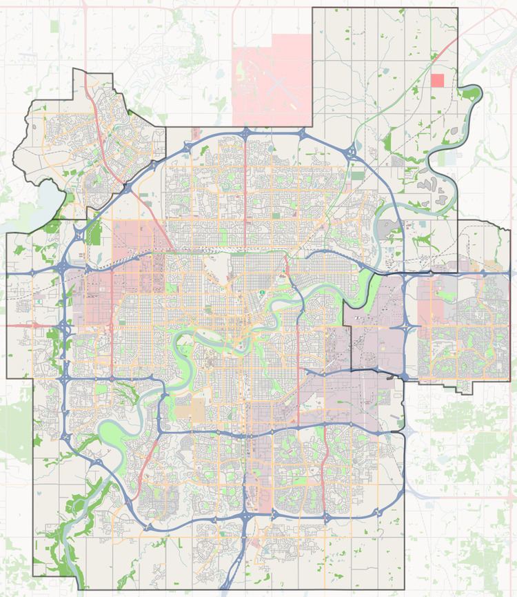
156 Street is a major south to north arterial road in the west of the city of Edmonton, continuing north into the eastern side (and renamed Campbell Road) of the city of St. Albert, in Alberta, Canada.
Contents
In Edmonton, 156 Street runs primarily on the north side of the North Saskatchewan River, through the former town of Jasper Place and Edmonton's west industrial district. The numbering system was extended to the south side of the river as that part of Edmonton expanded west. While the newer southside neighbourhoods tend not to have a linear north-south arterial road labeled 156 Street, there are still small broken parts within the Terwillegar residential areas retaining this numerical name. The linear north-south 156 Street "re-emerges" south of Terwillegar Drive, continuing for nearly 5 km (with breaks for Anthony Henday Drive and Whitemud Creek) to Edmonton's southern city limits at 41 Avenue SW.
In St. Albert, roads are named rather than numbered. When 156 Street crosses the St. Albert Trail near Edmonton's northern city limit, it realigns slightly and adopts the St. Albert designation Campbell Road. Shortly thereafter it crosses into the city of St. Albert and continues as Campbell Road to the northern city limit of St. Albert.
Neighbourhoods
List of neighbourhoods 156 Street/Campbell Road runs through, in order from south to north, excluding the short segments found in named neighbourhoods south of the North Saskatchewan River. The majority of 156 Street south of the river runs on the edge (rather than through) neighbourhoods or through long expanses of currently (2015) undeveloped urban farmland.
Interchanges and intersections
This is a list of major intersections of 156 Street, starting at the north cliff side of the North Saskatchewan River and heading north into St. Albert.