
Maintained by the City of Edmonton West end 139 Street Length 10,500 m Major cities Edmonton | Location Edmonton East end Manning Drive Province Alberta | |
 | ||
Major
junctions 127 Street, Castle Downs Road, 97 Street, 82 Street, 66 Street, 50 Street, Manning Drive | ||
Oxford mews 13107 153 avenue edmonton ab
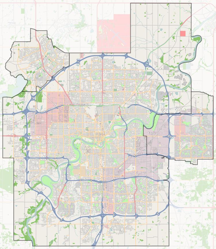
153 Avenue is a major arterial road in north Edmonton, Alberta, Canada. It is currently separated between by an industrial subdivision that has been rezoned for residential, at Manning Drive and Fort Road. As 153 Avenue runs east, the city runs out of street numbers at rural grid road Meridian (1) Street, so a quadrant system has been put in place by increasing the numbers again in the NE quadrant. Addresses on 33 Street and east have been encouraged to include NW to avoid confusion with addresses in the NE quadrant, specifically 17 Street, as NW and NE are both major arteries.
Contents
Neighbourhoods
List of neighbourhoods 153 runs through, in order from west to east.
Interchanges and intersections
This is a list of major intersections, starting at the west end of 153 Avenue.
References
153 Avenue, Edmonton Wikipedia(Text) CC BY-SA