
Country United States County Maui Elevation 9.1 m Area code 808 | State Hawaii GNIS feature ID 364317 Population 425 (2010) | |
 | ||
Time zone Hawaii-Aleutian (UTC-10) Area 9.42 km² (8.197 km² Land / 122 ha Water) | ||
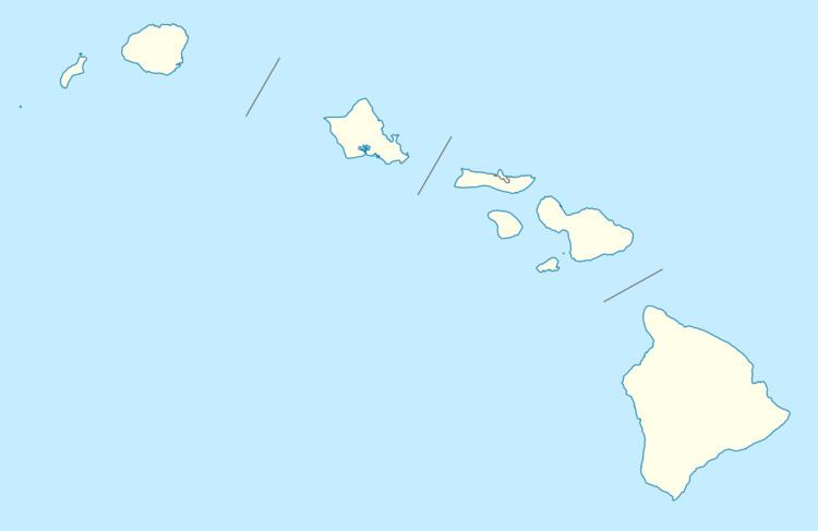
ʻUalapuʻe is an unincorporated community and census-designated place on the island of Molokai in Maui County, Hawaii, United States. Its population was 425 as of the 2010 census. The community is located along Hawaii Route 450 on the southeast coast of the island of Molokai.
Geography
ʻUalapuʻe is located at 21.0617343°N 156.8313360°W / 21.0617343; -156.8313360. According to the U.S. Census Bureau, the community has an area of 3.637 square miles (9.42 km2), of which 3.165 square miles (8.20 km2) is land and 0.472 square miles (1.22 km2) is water.
References
ʻUalapuʻe, Hawaii Wikipedia(Text) CC BY-SA