
Local time Monday 2:27 AM | Area 47.44 km² Population 8,647 (2005) | |
 | ||
Time zone Japan Standard Time (UTC+9) Weather -1°C, Wind S at 3 km/h, 90% Humidity | ||
Ōuda (大宇陀町, Ōuda-chō) was a town located in Uda District, Nara Prefecture, Japan.
Map of Oudakami, Uda, Nara Prefecture 633-2174, Japan
As of 2005, the town had an estimated population of 8,647 and a density of 182.27 persons per km². The total area was 47.44 km².
On January 1, 2006, Ōuda, along with the towns of Haibara and Utano (all from Uda District), was merged to create the city of Uda.
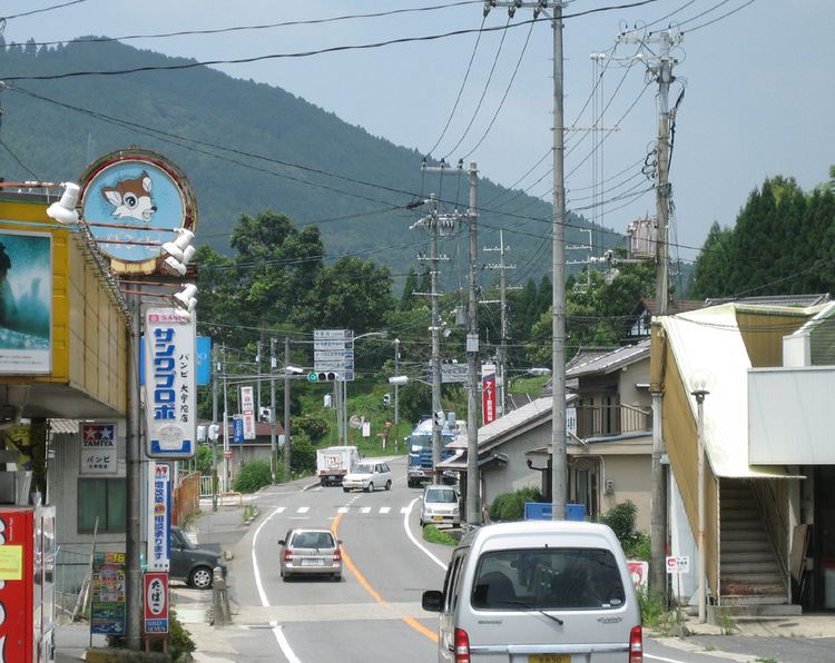
The town of Ōuda lies in a valley between two long mountain ranges in northeastern Nara, Japan. A three-mile long stretch of national routes 166 and 370 in the southern part of the town is where most of the businesses and homes are clustered. A large portion of flat land north on route 370 is less densely populated, covered mostly by rice fields. A large torii, or Japanese Gate, rises out of the rice paddies.
Fall is considered to be by far the most beautiful season for the region, as the region has inherited a reputation for natural beauty of its late months.