Phone number 0428-22-111 Area 103.3 km² Local time Monday 1:36 AM | Region Kantō Website www.city.ome.tokyo.jp Population 139,339 (2010) Bird Japanese bush warbler | |
 | ||
Address 1-11-1 Higashi-ome, Ome-shi, Tokyo 198-8701 Weather 3°C, Wind W at 11 km/h, 77% Humidity Points of interest Mount Mitake, Musashimitake Shrine, Shiofunekannon‑ji Temple, Nanayono Falls, Ome Railway Park | ||
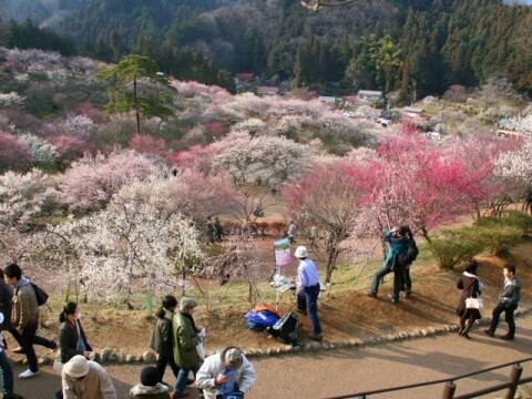
Ōme (青梅市, Ōme-shi) is a city located in the western portion of Tokyo Metropolis, in the central Kantō region of Japan. As of 1 February 2016, the city had an estimated population of 136,071 and a population density of 1320 persons per km². Its total area was 103.31 square kilometres (39.89 sq mi). The city's name literally means green ume, or Japanese apricot.
Contents
- Map of Oume Tokyo Japan
- Geography
- Surrounding municipalities
- History
- Education
- Railway
- Highway
- Sister city relations
- Local attractions
- References
Map of Oume, Tokyo, Japan
Geography
Ōme is located in the Okutama Mountains of western Tokyo, bordered by Saitama Prefecture to the north. The Tama River and Iruma River flow through the city.
Surrounding municipalities
History
The area of present-day Ōme was part of ancient Musashi Province. Ōme developed in the Edo period as a post station on the Ōme-Kaidō highway. In the post-Meiji Restoration cadastral reform of July 22, 1878, the area became part of Nishitama District in Kanagawa Prefecture. The town of Ōme was created on April 1, 1889 with the establishment of municipalities law. Nishitama District was transferred to the administrative control of Tokyo Metropolis on April 1, 1893. Ōme was elevated to city status on April 1, 1951 by merging with the neighboring villages of Kasumi and Chōfu. Later in 1955, four additional villages (Yoshida, Mita, Kosoki, and Nariki) merged with Ōme.
