
Elevation 332 m Population 18 (2013) | Region Plzeň Postal code 338 08 Area 190 ha | |
 | ||
Website | ||
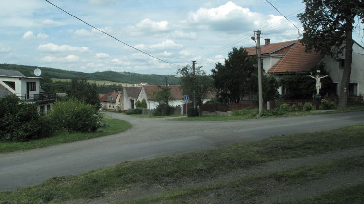
Čilá is a village and municipality (obec) in Rokycany District in the Plzeň Region of the Czech Republic.
Map of 338 08 %C4%8Cil%C3%A1, Czechia
The municipality covers an area of 1.9 square kilometres (0.73 sq mi), and has a population of 18 (as at 31 December 2013).
Čilá lies approximately 26 kilometres (16 mi) north-east of Rokycany, 36 km (22 mi) north-east of Plzeň, and 51 km (32 mi) west of Prague.
References
Čilá Wikipedia(Text) CC BY-SA