
Area 31.86 km² | Local time Sunday 10:28 AM | |
 | ||
Weather 16°C, Wind SE at 3 km/h, 44% Humidity | ||
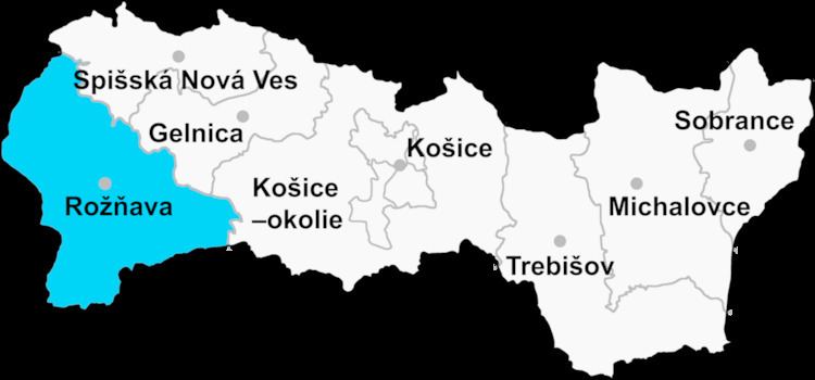
Čierna Lehota (Hungarian: Szabados) is a village and municipality in the Rožňava District in the Košice Region of eastern Slovakia.
Contents
Map of 049 36 %C4%8Cierna Lehota, Slovakia
History
In historical records the village was first mentioned in 1389.
Geography
The village lies at an altitude of 521 metres and covers an area of 31.864 km². It has a population of about 575 people.
Ethnicity
The population is about 96% Slovak in ethnicity.
Culture
The village has a small public library, a football pitch and a food store.
References
Čierna Lehota, Rožňava District Wikipedia(Text) CC BY-SA