
Area 33.6 km² | Region Ústí nad Labem Postal code 435 52 to 436 01 Elevation 725 m | |
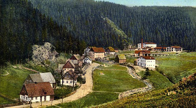 | ||
Český Jiřetín (German: Georgendorf) is a village and municipality (obec) in Most District in the Ústí nad Labem Region of the Czech Republic. The village is split across the Czech-German border - the German side is called Deutchgeorgenthal
Map of %C4%8Cesk%C3%BD Ji%C5%99et%C3%ADn, Czechia
The municipality covers an area of 33.6 square kilometres (13.0 sq mi), and has a population of 75 (as at 31 December 2007).
Český Jiřetín lies approximately 22 kilometres (14 mi) north of Most, 35 km (22 mi) west of Ústí nad Labem, and 91 km (57 mi) north-west of Prague.
References
Český Jiřetín Wikipedia(Text) CC BY-SA