
Country Czech Republic District Třebíč Elevation 498 m Local time Sunday 9:59 AM | Region Vysočina Postal code 675 07 Area 7.4 km² | |
 | ||
Weather 13°C, Wind E at 8 km/h, 60% Humidity | ||
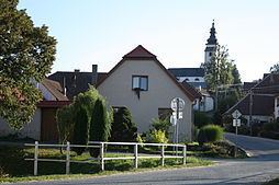
Červená Lhota is a village and municipality (obec) in Třebíč District in the Vysočina Region of the Czech Republic.
Map of 675 07 %C4%8Cerven%C3%A1 Lhota, Czechia
The municipality covers an area of 7.40 square kilometres (2.86 sq mi), and has a population of 185 (as at 2005).
Červená Lhota lies approximately 10 kilometres (6 mi) north-west of Třebíč, 20 km (12 mi) south-east of Jihlava, and 134 km (83 mi) south-east of Prague.
References
Červená Lhota (Třebíč District) Wikipedia(Text) CC BY-SA