
Area 11.97 km² | Postal code 389 01 Elevation 484 m | |
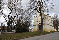 | ||
Číčenice is a village and municipality (obec) in Strakonice District in the South Bohemian Region of the Czech Republic.
Map of %C4%8C%C3%AD%C4%8Denice, Czechia
The municipality covers an area of 11.97 square kilometres (4.62 sq mi), and has a population of 454.
Číčenice lies approximately 27 kilometres (17 mi) south-east of Strakonice, 28 km (17 mi) north-west of České Budějovice, and 105 km (65 mi) south of Prague.
References
Číčenice Wikipedia(Text) CC BY-SA