
Length 15.6 km | Major cities Üllő | |
 | ||
Similar Museum of Applied Arts, Hegyvidék, Andrássy út, Groupama Arena, Corvin | ||
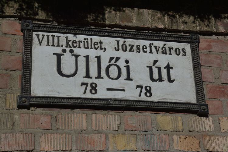
Üllői út (Üllői Avenue, lit. means "Road to Üllő") is a major transport artery in Budapest, Hungary. Üllői út is the longest avenue in Budapest. It is 15.6 km long and absolutely straight.
Map of Budapest, %C3%9Cll%C5%91i %C3%BAt, Hungary
It starts at the edge of Inner City proper, crosses Small Boulevard and Grand Boulevard and runs as far as the boundary of the capital in southeastern direction, reaching the nearby towns (suburbs) of Vecsés and Üllő, the latter providing its name. During the socialist era, the avenue's name was Vörös Hadsereg útja (lit. Street of the Red Army) between Határ út (pre-1950 city limit) and the present (post-1950) city limit. See also: Greater Budapest
The Metro 3 runs under it from Kálvin tér as far as Határ út, having 8 stations along it. It has a side-road leading to Ferihegy Airport, the most important international airport of Hungary. It also forms the boundary between Ferencváros and Józsefváros.
Üllő means "anvil" in Hungarian.
Among its notable points are