
Municipality Ørsta Municipality | Area 5.4 km² | |
 | ||
Elevation 7 - 1,303 m (−4,268 ft) | ||
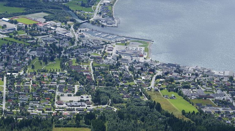
Ørsta is the administrative centre of Ørsta Municipality in Møre og Romsdal county, Norway. The village is located at the innermost part of the Ørstafjorden, surrounded by the Sunnmørsalpene mountains. The 5.4-square-kilometre (1,300-acre) urban area has a population (2012) of 6,868 which gives it a population density of 1,270 inhabitants per square kilometre (3,300/sq mi). This makes it the fourth largest urban area in all of Møre og Romsdal county.
Map of %C3%98rsta, Norway
Ørsta is the seat of the municipal government and it is also the commercial centre of the municipality. There is a shopping center, industry, and Ørsta-Volda Airport (on the southwest side of the village area). Ørsta Church is also located in central part of Ørsta. A videregående skole (regional high school) and the Møre Folkehøgskule are both located in Ørsta.