
Location Indian Ocean Elevation 35 m | Highest elevation 35 m (115 ft). Population 0 | |
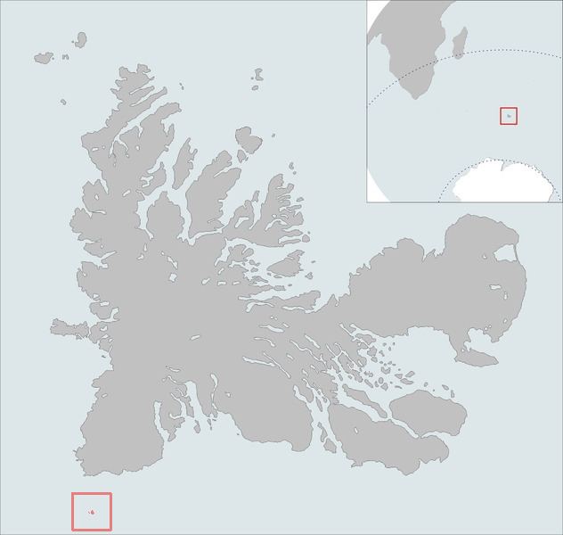 | ||
The îles de Boynes, or Boynes Islands, are four small islands of the Kerguelen archipelago, lying some 30 kilometres (19 miles) south of Presqu'ile Rallier du Baty on the main island, just south of the 50 south parallel (50°01′S 68°52′E). They were discovered in 1772 by the first expedition of Yves-Joseph de Kerguelen-Trémarec. They were named after the marquis de Boynes, the French Secretary of the Navy of the period. Except the disputed claim to Adélie Land, Boynes Islands are the most southerly French land.
Map of %C3%8Eles de Boynes, French Southern and Antarctic Lands
References
Îles de Boynes Wikipedia(Text) CC BY-SA