
Location Indian Ocean Highest elevation 617 m (2,024 ft) District Îles Kerguelen Elevation 617 m | Archipelago Îles Kerguelen Highest point Pic Philippe d'Orléans Population 0 Area 33 km² | |
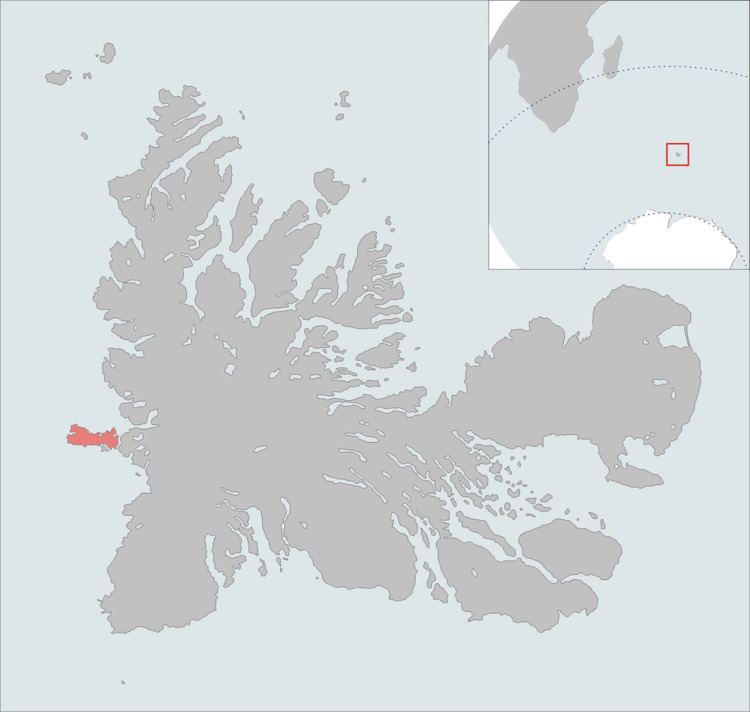 | ||
The Île de l'Ouest is one of the Kerguelen Islands situated near to the west coast of Grande Terre, the principal island.
Map of West Island, French Southern and Antarctic Lands
It is divided by the Grande Terre by the détroit de la Marianne (Marianne's strait). The highest point is a mountain named Pic Philippe d'Orléans, at 617 metres.
References
Île de l'Ouest Wikipedia(Text) CC BY-SA