
Location Indian Ocean Highest elevation 270 m (890 ft) District Îles Kerguelen Elevation 270 m | Archipelago Îles Kerguelen Highest point Pic d'Antoine Population 0 Area 35 km² | |
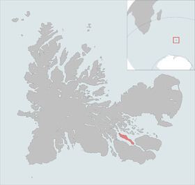 | ||
The Île Longue is one of the Kerguelen Islands situated near to the south-east coast of Grande Terre, the principal island.
Map of Longue Island, French Southern and Antarctic Lands
The highest point is a mountain named Pic d'Antoine, at 270 metres.
Since 1950 the islands hosts about 3500 free range sheep bred in order to provide fresh meat to the Port-aux-Français settlement.
References
Île Longue (Kerguelen Islands) Wikipedia(Text) CC BY-SA