
Location Indian Ocean Highest elevation 677 m (2,221 ft) District Îles Kerguelen Elevation 677 m | Archipelago Îles Kerguelen Highest point unnamed mountain Population 0 | |
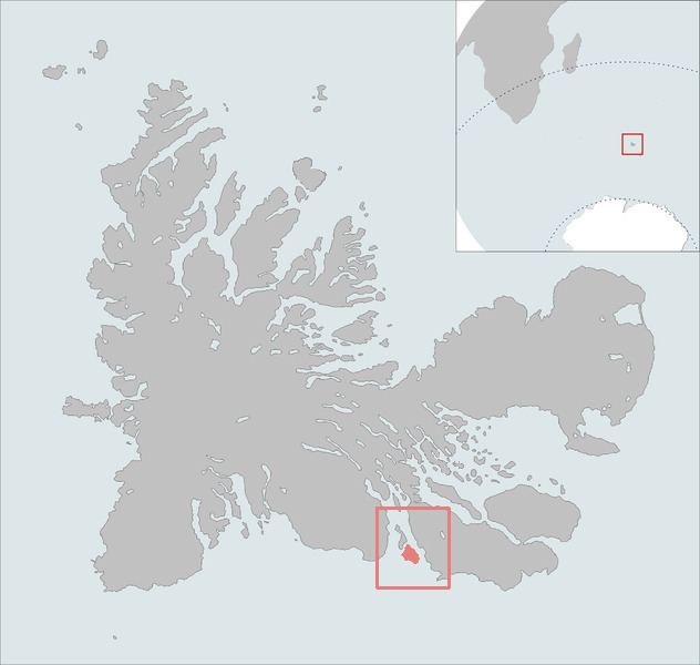 | ||
The Île Gaby is one of the Kerguelen Islands near the coast of Grande Terre, the principal island.
Map of Gaby Island, French Southern and Antarctic Lands
It lies in the Swains Bay between the south-eastern part of the Gallieni Peninsula and the west coast of the Joan of Arc Peninsula, around 1 km SE of the Altazin Island.
The highest point of the island is an unnamed mountain that reaches the elevation of 677 m above the sea level.
References
Île Gaby Wikipedia(Text) CC BY-SA