
Canton Sancergues Area 31.88 km² Population 419 (1999) | Time zone CET (UTC+1) Local time Saturday 11:46 PM | |
 | ||
Weather 8°C, Wind SW at 10 km/h, 86% Humidity | ||
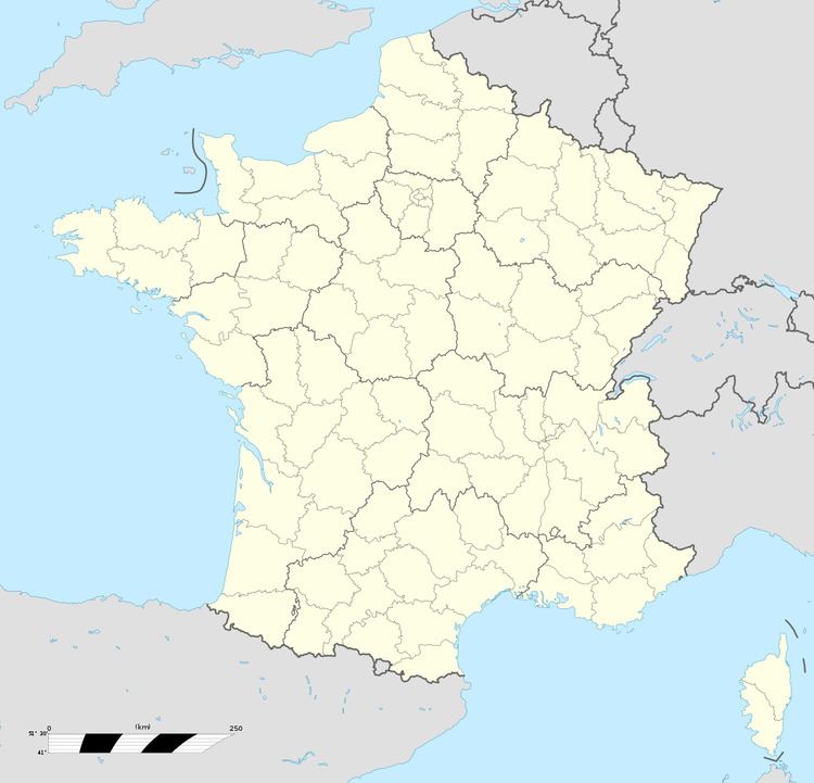
Étréchy is a commune in the Cher department in the Centre region of France.
Contents
Map of 18800 %C3%89tr%C3%A9chy, France
Geography
A farming area consisting of the village and a couple of hamlets situated some 15 miles (24 km) northeast of Bourges, at the junction of the D158 with the D52, D36 and D93 roads.
Sights
References
Étréchy, Cher Wikipedia(Text) CC BY-SA