Canton Vavincourt Local time Saturday 10:26 PM | Area 10.82 km² | |
 | ||
Weather 7°C, Wind SE at 6 km/h, 89% Humidity | ||
Érize-la-Brûlée is a commune in the Meuse department in Grand Est in north-eastern France.
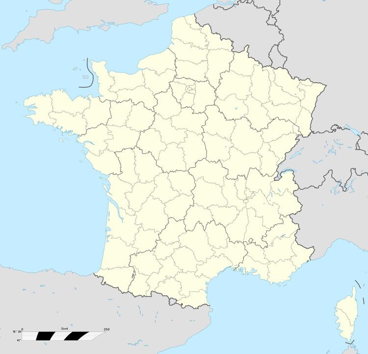
Map of 55260 %C3%89rize-la-Br%C3%BBl%C3%A9e, France
It is located 80km south-west of Metz and north-west of Nancy. Nearby settlements include Érize-Saint-Dizier, Rumont, Raival, Érize-la-Petite, and Chaumont-sur-Aire.
Its name derives from the name of the local river L'Ezrule (in Latin, Ericia). The suffix 'la-Brûlée', meaning 'burnt', may date back to 1247 when the village was destroyed by invaders.
References
Érize-la-Brûlée Wikipedia(Text) CC BY-SA
