
Time zone UTC-3 (UTC-3) Area 31.5 km² | Founded April 8, 2003 Area code(s) +55 61 | |
 | ||
University Centro Universitário Planalto do Distrito Federal | ||
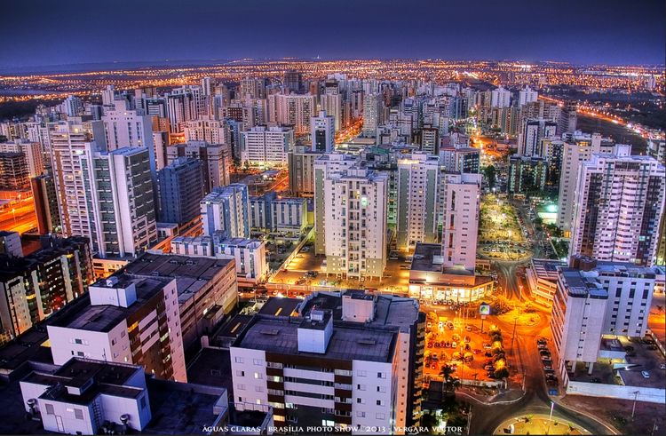
Águas Claras is an administrative region in the Federal District, Brazil.
Contents
Map of %C3%81guas Claras, Brasilia - Federal District, Brazil
History
In December 1992, District Law No. 385 authorized the implementation of the Águas Claras neighborhood in Taguatinga and the respective occupation plan was approved. Designed by architect and urbanist Paulo Zimbres, Águas Claras began construction shortly afterwards. It became an administrative region of the Federal District in 2003 through District Law No. 3153 on May 6 of that year.
The neighborhood was notable for its accelerated growth, with large and diversified real estate developments appearing every month.
Águas Claras has an area of approximately 31.5 km² and a population of just over 135 thousand inhabitants.
Etymology
Its name is reference to the stream within the region which flows into Lake Paranoá.