
District Haifa | ||
 | ||
Name meaning "Khurbet Arah": the ruin of ’Arah (personal name) | ||
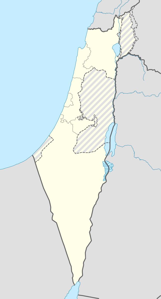
'Ara (Hebrew: עָרָה; Arabic: عاره) is a village in the Haifa District in northern Israel, located in the Wadi Ara valley. Since 1985 'Ara has been part of the Ar'ara local council. It is north of highway 65, between Ar'ara and Kfar Qara. Its population of 4,600 (as of 2004) is almost entirely Muslim.
Contents
History
Burial caves along with white mosaic pavements have been excavated at the village. Some of the burial caves have been dated to the Middle and Late Bronze Ages and the Roman era. Byzantine lamps, glass vases and ceramics have also been found.
A building from the Umayyad era have been excavated in the village. It included many pottery objects and a glass jar, all from the same period.
Ottoman era
'Ara, like the rest of Palestine, was incorporated into the Ottoman Empire in 1517, and in the census of 1596, the village appeared in the tax registers as being in the Nahiya of Shara of the Liwa of Lajjun. It had a population of 2 Muslim households and paid taxes on wheat, barley, vines, and goats or beehives.
In 1882, Palestine Exploration Fund's Survey of Western Palestine noted "traces of ruins on a prominent mound with a well."
British Mandate era
In the 1922 census of Palestine conducted by the British Mandate authorities, 'Arah had a population 372, all Muslims
This had increased at the time of the 1931 census to 673 Muslims, in 115 occupied houses.
Post-1948
'Ara was merged with the neighboring Ar'ara in 1985.