
Length 101 km (62.8 mi) Highest elevation 912 m (2,992 ft) | Width 27 km (16.8 mi) Highest point Gora Sakonoval' Area 2,404 km² | |
 | ||
Location Karaginsky Gulf of the Bering Sea | ||
Karaginsky Island or Karaginskiy Island (Russian: Карагинский остров) is an island in the Karaginsky Gulf of the Bering Sea. The 40 km-wide strait between the Kamchatka Peninsula and this island is called Litke Strait. Karaginsky Island is a Ramsar site.
Contents
Map of Karaginsky Island, Kamchatka Krai, Russia, 688714
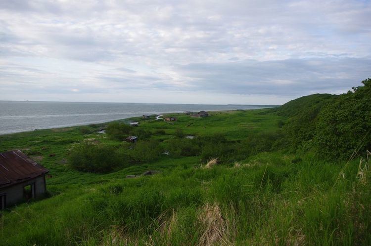
Even though the island is uninhabited, the Karagin Koryaks have traditionally lived in Karaginskiy Island. Migrant reindeer herders still live in temporary shelters on the island.
The island is 101 km long and up to 27 km wide, with an area of 2,404 km². The highest peak of the island is 912 m. Karaginsky Island is covered with tundra vegetation and cedar underwood. In the summer there are many flowers.
Currently this island is popular with tourists who come to enjoy the wildlife.
Administration
Administratively, Karaginskiy Island belongs to the Kamchatka Krai of the Russian Federation.