
Country Canada Local Improvement District Wirral Rural Municipality October 1909. Area 1,043 km² Population 1,473 (2006) | Rural Municipality Wilton Local improvement district May 14, 1905. Time zone MST (UTC−7) Province Saskatchewan Local time Friday 5:11 PM | |
 | ||
Weather 2°C, Wind E at 26 km/h, 79% Humidity | ||
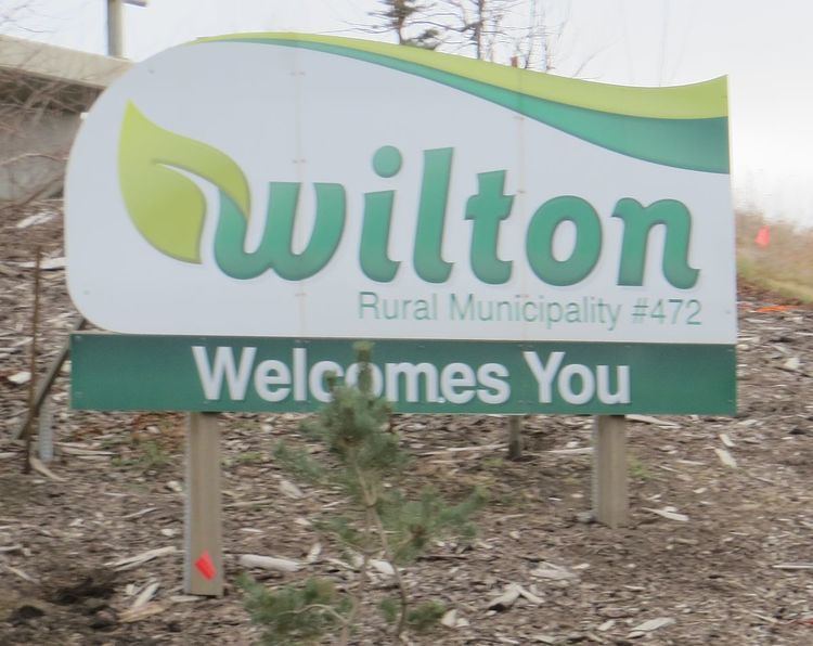
Wilton No. 472 is a rural municipality of 1,473 rural residents (2006 census) in the northwestern part of Saskatchewan, Canada. The RM was incorporated October 1909. Other localities in the area include Village of Marshall and the Town of Lashburn
Contents
Map of Wilton No. 472, SK, Canada
The city of Lloydminster lies adjacent to the northwest corner of Wilton.
A rural municipality is an administrative district consisting of an elected reeve, councilors, administrator who provide essential services within their area.
The first meeting of the Wirral Improvement District was held May 14, 1905. For taxation purposes it was agreed that a levy of one and a half cents per acre would be made. The first road equipment was purchased in 1907 and consisted of 6 road scrapers for each Township. A local man was hired to act as foreman and he was paid 25 cents per hour.