
Country Canada Time zone UTC (UTC-6) Local time Friday 5:09 PM Province Saskatchewan | Rural Municipality December 13, 1909 Area 827.4 km² Population 164 (2006) | |
 | ||
Weather 12°C, Wind SE at 26 km/h, 51% Humidity | ||
Wheatlands No. 163, Saskatchewan is a rural municipality of 164 rural residents (2006 census) in the southwestern part of Saskatchewan, Canada. The RM was incorporated December 13, 1909. Other localities in the area include Mortlach, and Parkbeg. The Coteau Hills taper off to agricultural plains. The Burrowing Owl (Athene cunicularia), an endangered animal, makes its home in this area.
Contents
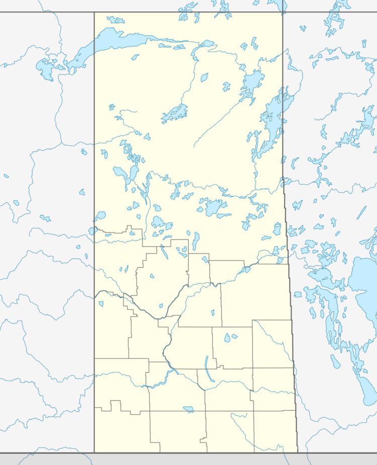
Map of Wheatlands No. 163, SK, Canada
A rural municipality is an administrative district consisting of an elected reeve, councilors, administrator who provide essential services within their area.
A person could work for the municipality and have his earnings put toward the taxes on his land; at one time, money collected in each Division stayed in that Division....The RM has as its responsibilities for many areas: agricultural programs and concerns in general; tax collections for needs of the municipality - road construction and maintenance; protective services - pest control, fire protection, weed control, environmental development, cultural and educational services; medical and veterinary needs and so forth.