
Country Canada Time zone UTC (UTC-6) Population 422 (2006) | Rural Municipality February 1, 1913 Local time Friday 5:09 PM Province Saskatchewan | |
 | ||
Weather 14°C, Wind S at 29 km/h, 29% Humidity | ||
Rural municipality of waverley no 44 top 5 facts
This article is about the rural municipality in Canada. For other places with the same name, see Waverley (disambiguation)
Contents
- Rural municipality of waverley no 44 top 5 facts
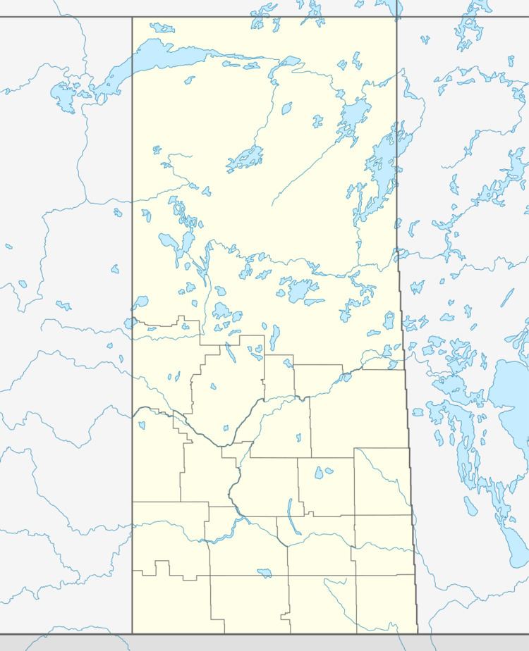
- Map of Waverley No 44 SK Canada
- Area statistics
- References
Map of Waverley No. 44, SK, Canada
Waverley No. 44 is a rural municipality of 422 rural residents (2006 census) in the southwestern part of Saskatchewan, Canada. The RM was incorporated February 1, 1913. Other urban municipalities in the area include Fir Mountain, Glentworth, and Wood Mountain. The southern part of the rural municipality, along the United States border, contains most of the eastern portion ("East Block") of Grasslands National Park. The southern boundary of the RM is the United States border with Valley County, Montana.
A rural municipality is an administrative district consisting of an elected reeve, councillors, administrator who provide essential services within their area.
A person could work for the municipality and have his earnings put toward the taxes on his land; at one time, money collected in each Division stayed in that Division....The RM has as its responsibilities for many areas: agricultural programs and concerns in general; tax collections for needs of the municipality - road construction and maintenance; protective services - pest control, fire protection, weed control, environmental development, cultural and educational services; medical and veterinary needs and so forth.