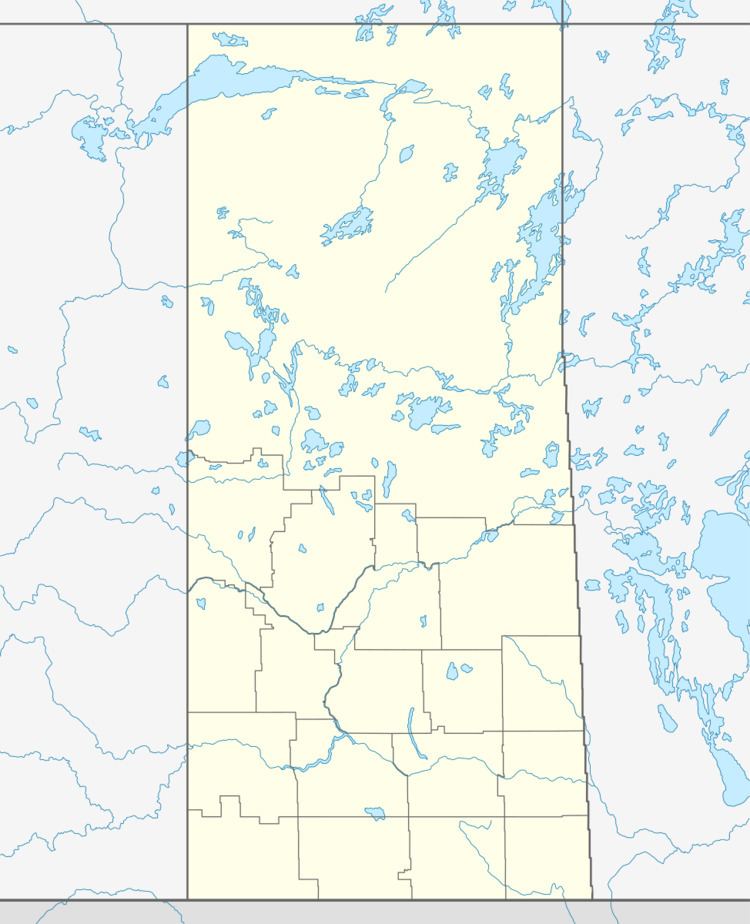
Country Canada Population 1,096 (2001) | Area 2,340 km² Province Saskatchewan | |
 | ||
Porcupine No. 395 is a rural municipality in north eastern Saskatchewan. It was formed on February 28, 1944.
Contents
Communities
The list of communities below are within the municipalities boundaries.
Towns
Villages
Hamlets
Demographics
According to the Canada 2001 Census:
Saskatchewan railways and railway stations
(historic or current)
none
Saskatchewan highways and roads
For more information see also List of Saskatchewan provincial highways For more information see also List of Saskatchewan provincial roadsSaskatchewan Rural Municipalities Neighborhood 1918
References
Rural Municipality of Porcupine No. 395 Wikipedia(Text) CC BY-SA
