
Country Canada Census division 4 Website mds.gov.sk.ca Local time Friday 4:53 PM Area code 306 | Region Southwest Saskatchewan Time zone UTC (UTC-6) Province Saskatchewan Population 392 (2006) | |
 | ||
Highways Highway 1
Highway 614
Highway 724
Highway 728 Weather 12°C, Wind S at 29 km/h, 33% Humidity | ||
Piapot No. 110 is a rural municipality in the Canadian province of Saskatchewan, located in the southwestern region of the province.
Contents
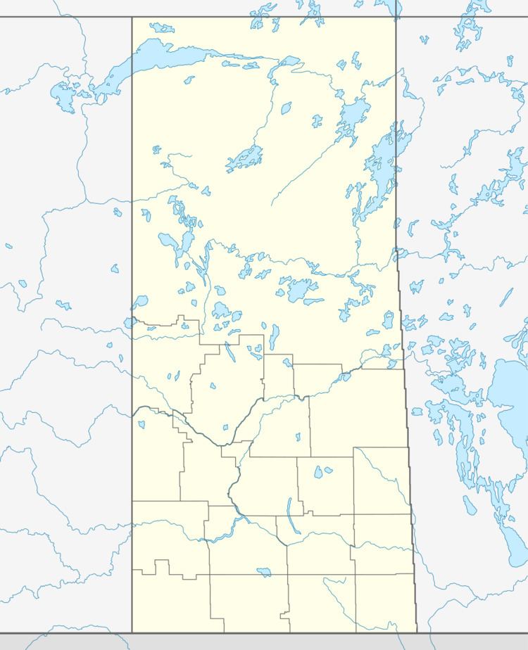
Map of Piapot No. 110, SK, Canada
Demographics
In 2006, the Rural municipality had a population of 392 in 190 dwellings, a -7.5% decrease from 2001. On a surface of 1,912.81 km² it has a density of 0.2 inhabitants/km².
Communities
The following communities are located in this municipality:
Transportation
The following is a list of Saskatchewan highways and provincial roads, and communities that the highways pass through, within the municipality of Piapot.
References
Rural Municipality of Piapot No. 110 Wikipedia(Text) CC BY-SA