
Country Canada Rural Municipality January 1, 1913. Area 594 km² Local time Friday 4:52 PM | Rural Municipality Paynton Time zone UTC (UTC-6) Population 268 (2011) Province Saskatchewan | |
 | ||
Weather 4°C, Wind E at 27 km/h, 63% Humidity | ||
Paynton No. 470, Saskatchewan, is a rural municipality in the northwestern part of Saskatchewan, Canada. The RM was incorporated October 1909. Other localities in the area include the village of Paynton and hamlet of Bresaylor.
Contents
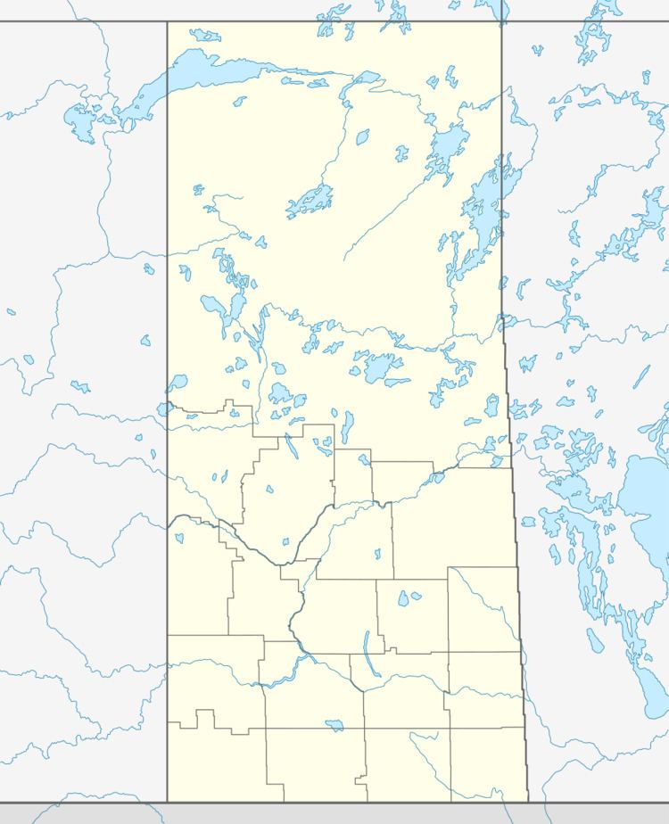
Map of Paynton No. 470, SK, Canada
A rural municipality is an administrative district consisting of an elected reeve, councilors, administrator who provide essential services within their area.
The Paynton Ferry is used as an access to the Northern Lakes for area residents..
Area statistics
References
Rural Municipality of Paynton No. 470 Wikipedia(Text) CC BY-SA