
Country Canada Time zone UTC (UTC-6) Local time Friday 4:45 PM Province Saskatchewan | Rural Municipality December 19, 1909 Area 782.5 km² Population 394 (2006) | |
 | ||
Weather 5°C, Wind E at 32 km/h, 60% Humidity | ||
Mayfield No. 406, Saskatchewan, is a rural municipality of 394 rural residents (2006 census) in the northwestern part of Saskatchewan, Canada. The RM was incorporated December 19, 1909. Other localities in the area include Ruddell, Denholm, Lilac and Maymont.
Contents
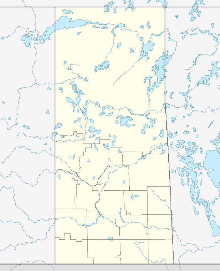
Map of Mayfield No. 406, SK, Canada
A rural municipality is an administrative district consisting of an elected reeve, councilors, administrator who provide essential services within their area.
Glenburn Regional Park is the original site of the Eagle Hills Post, built in 1778
Area statistics
References
Rural Municipality of Mayfield No. 406 Wikipedia(Text) CC BY-SA