
Country Canada Time zone UTC (UTC-6) Local time Friday 4:42 PM Province Saskatchewan | Census division 7 Website Official website Population 432 (2001) | |
 | ||
Region South-west Saskatchewan Weather 13°C, Wind S at 26 km/h, 38% Humidity | ||
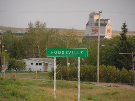
Lawtonia No. 135 is a rural municipality in the Canadian province of Saskatchewan, located in the Census Division 7. The seat of the municipality is located in Hodgeville.
Contents
Map of Lawtonia No. 135, SK, Canada
Demographics
In 2001, the rural municipality had a population of 432 in 138 dwellings, a -6.3% decrease from 1996. On a surface of 845.27 km² it has a density of 0.5 inhabitants/km².
Communities
The following communities are located in this municipality:
Villages
Hamlets
Saskatchewan Highways and Roads
References
Rural Municipality of Lawtonia No. 135 Wikipedia(Text) CC BY-SA