Rahul Sharma (Editor)

Rural Municipality of Hudson Bay No. 394

Updated on
Edit
Like
Comment
Share on FacebookTweet on TwitterShare on LinkedInShare on Reddit
Country
  
Canada

Population
  
1,359 (2006)

Area
  
12,461 km²

Province
  
Saskatchewan

Rural Municipality of Hudson Bay No. 394

The Rural Municipality of Hudson Bay No. 394 is a rural municipality (RM) in northeast Saskatchewan. The RM of Hudson Bay No. 394 was formed May 1, 1977. It is the largest, and least densely populated rural municipality in Saskatchewan. The Town of Hudson Bay is enclaved within its borders, as are several First Nations communities.

Contents

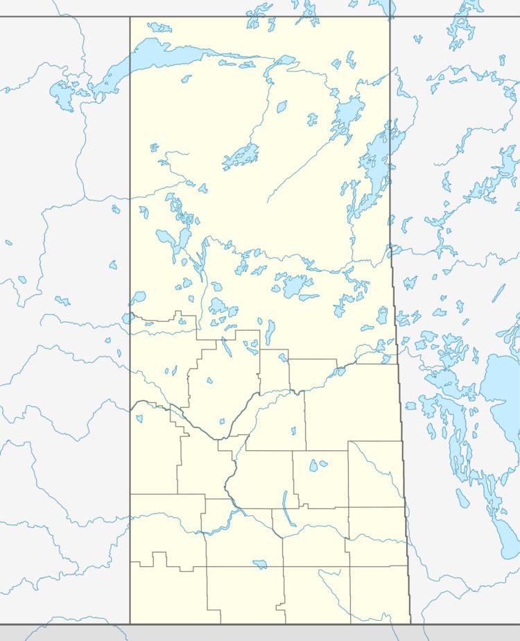
Map of Hudson Bay No. 394, SK, Canada

Communities

Hudson Bay No. 394 is home to the urban municipalities of

  • Bertwell
  • Erwood
  • Etomami
  • Hudson Bay Junction
  • Hudson Bay (enclaved town, not considered part of Hudson Bay No. 394)
  • Veillardville
  • Reserve
  • Saskatchewan railways and railway stations

    (historic and current)

  • Hudson Bay Branch C.N.R. - serves Hudson Bay Junction, Wachee, Ceba, Chemong)
  • Swan River - Prince Albert Branch C.N.R. - serves Baden, Powell, Barrows Junction, Westgate, Roscoe, Erwood, Hudson Bay Junction, Greenbush, Prairie River, Bannock, Mistatim, Peesane, Crooked River, Eldersley, Tisdale, Valparaiso
  • Saskatchewan highways and roads

    For more information see also List of Saskatchewan provincial highways For more information see also List of Saskatchewan provincial roads
  • Highway 3—serves Hudson Bay and Erwood
  • Highway 9—serves Hudson Bay
  • Highway 55—Comes near Shoal Lake First Nation and Red Earth First Nation
  • Highway 980—serves Woody River Recreation Site
  • Highway 981—serves Erwood
  • Highway 982 (Little Swan Road)—connects Hudson Bay and Swan Plain, Saskatchewan
  • Highway 983 (McBride Lake Road)—serves Reserve
  • Saskatchewan Rural Municipalities Neighborhood 1918

  • These RM's or LID's were all 3 townships x 3 townships probably formed c1909
  • LID or Local Improvement District
  • 18 miles x 18 miles in geographical area.
  • The yellow area became Hudson Bay No. 394 as it is known today.
  • The silver area became approximately Porcupine No. 395 as it is known today
  • References

    Rural Municipality of Hudson Bay No. 394 Wikipedia