Country Canada Population 855 (2001) | Area 1,198 km² Province Saskatchewan | |
 | ||
The Rural Municipality of Excelsior No. 166, Saskatchewan was originally called Waldeck No. 166, Saskatchewan and is now named Excelsior as of January 30, 1910. The original founding date of Pipestone was December 12, 1910 Up until December 31, 1967 the R.M. of Vermillion Hills No. 195 was to the south of the R.M. of Excelsior. The municipality of Vermillion Hills No. 195 was absorbed into Morse No. 165, Saskatchewan
Contents
- Map of Excelsior No 166 SK Canada
- Population
- Statistics
- Communities
- Saskatchewan Railways and Railway Stations
- Saskatchewan Highways and Roads
- References
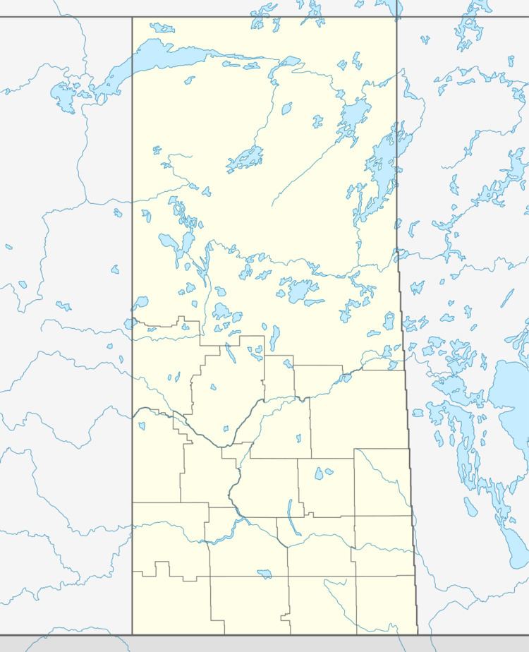
Map of Excelsior No. 166, SK, Canada
Population
As of the census in 2001, there were 855 people living in the municipality of Excelsior No. 166, Saskatchewan.
Statistics
According to the Canada 2001 Census:
Communities
Saskatchewan Railways and Railway Stations
(historic or current)
Saskatchewan Highways and Roads
For more information see also List of Saskatchewan provincial highways For more information see also List of Saskatchewan provincial roadsReferences
Rural Municipality of Excelsior No. 166 Wikipedia(Text) CC BY-SA
