
Country United States City St. Louis ZIP code(s) Part of 63107 Area 148 ha Area code 314 | State Missouri Wards 3, 5 Website stlouis-mo.gov Population 2,668 (2010) | |
 | ||
Restaurants Piekutow Sausage, Imo's Pizza (Gas Mart), Cornersto Cafe | ||
Oscc 2013 team renaissance in windsor hyde park st louis
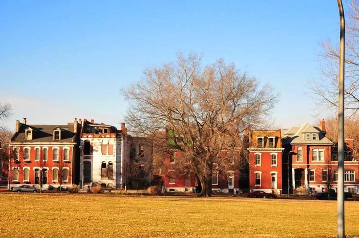
Hyde Park is a neighborhood of St. Louis, Missouri. A historic North St. Louis neighborhood, Hyde Park is bound by Ferry to the North, I-70 to the East, Palm Street and Natural Bridge Avenue to the South, and Glasgow to the West.
Contents
- Oscc 2013 team renaissance in windsor hyde park st louis
- Map of Hyde Park St Louis MO USA
- Demographics
- References
Map of Hyde Park, St. Louis, MO, USA
The community has the name of William Hyde.
The neighborhood lost its prosperity to industrial disinvestment following World War II. Harland Bartholomew included Hyde Park among the neighborhoods destined for "slum clearance," and with the departure of General Motors, the North Side fell on its way to becoming a "ghost town." Racial conflicts were apparent. The mostly Caucasian leadership referred to the plans for Hyde Park and other neighborhoods in the urban core as "urban renewal," while the African-American leaders within the community referred to it as "Negro removal."
Demographics
In 2010 Hyde Park's population was 84.8% Black, 13.6% White, and 1.3% Two or More Races. 0.9% of the population was of Hispanic or Latino origin.