
Country United States City St. Louis ZIP code(s) Parts of 63103, 63113 Area 62 ha Area code 314 | State Missouri Wards 18 Website stlouis-mo.gov Population 1,484 (2010) | |
 | ||
Restaurants Mom's Soul Food Kitchen, Dragon Chop Suey, Kingsway Chop Suey, Ocean Grill, Chez Mathy Restaurant | ||
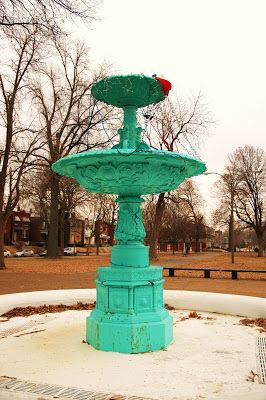
Fountain Park is a neighborhood of St. Louis, Missouri. Originally the Aubert Place subdivision, it was laid out by John Lay in 1857. The Fountain Park neighborhood is located in north St. Louis, Missouri with Martin Luther King on the north, Delmar on the south, Walton on the east, and Kingshighway on the west. It is just two blocks north of the Central West End of the city. The Fountain Park neighborhood is named after Fountain Park, an oval shaped city park near its center.
Contents
Map of Fountain Park, St. Louis, MO, USA
They participate in the Operation Brightside clean-up and the National Night Out.
Demographics
In 2010 Fountain Park's racial makeup was 97.4% Black, 1.1% White, 1.2% Two or More Races, and 0.1% Some Other Race. 0.5% of the population was of Hispanic or Latino origin.
References
Fountain Park, St. Louis Wikipedia(Text) CC BY-SA